
Sea Hydrographic Commission

Meso International Charting Coordination (MICC) Working Group
Chair: Bernice Mahabier (Suriname)
Vice Chair: Julio Castillo (US/NOAA)
INT Chart Coordinator: Alexis Miranda (Cuba)
MICC Documents
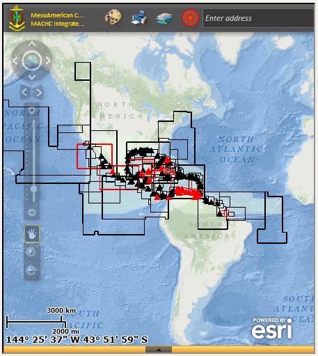 View MICC ENC Viewer
Fullscreen
View MICC ENC Viewer
FullscreenThe MICC is tasked with the development and maintenance of official nautical charts in both paper and digital formats, including:
- Develop and maintain an integrated international chart scheme for the region
- Ensure proper maintenance and updating of nautical documents
- Develop proposals for new/amended INT Chart Schemes
- Coordinate development/maintenance of ENC Schemes
MACHC ENCOnline Viewer uses Environmental Systems Research Institute (ESRI)'s Maritime Chart Server Technology, providing a seamless view of ENC datasets as viewed through an Electronic Chart Display and Information System (ECDIS) (Not for Navigation use). The viewer allows for certain parameters to be modified, changing such display properties as color scheme, depth contours (shallow, safety and deep), depth units, depth shades, point and area symbolization, and cell extents. Datasets are searchable by S-57 OBJNAM encoding as well as pick lists through map click. Both of these features expose further attribute information and the ability to zoom to features. Member states contributing to the MACHC ENCOnline map service are as follows: Brazil, Colombia, Cuba, Mexico, Netherlands, Suriname, United States, and Venezuela. Data is refreshed semi-annually.
MICC ENC ViewerThe MICC ENC viewer was created to support MICC activities: The MICC ENC viewer provides details on the ENC scheme for all the MACHC member states. The map contains overlays of AIS heat density as well as top priority ports within the region, thus allowing for member states to identify the current state of chart coverage against vessel traffic. The basemap to this viewer is the MACHC ENCOnline map service, providing a view of ENCs within the region (Not for Navigation use).